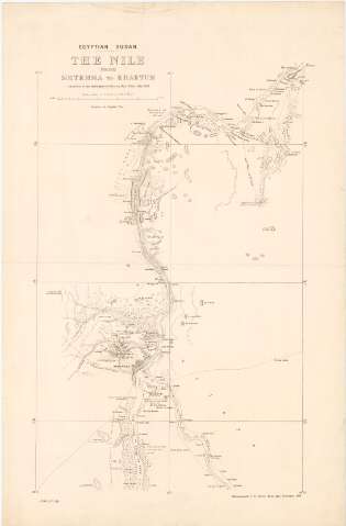
Eguptian Sudan. The Nile from Metemma To Khartum


 Disponible Holdings
 Section: Maps, plans and nautical charts
Uniform title: SUDAN. Nilo (Egipto)(Rio) (1898). 1:250.000
Title: Eguptian Sudan. The Nile from Metemma To Khartum / Compiled in the Intelligence Division, War Office
Material or type of resouce Area: Escala 1:250.000
Publication: Southampton : Photozincographed at The Ordnance Survey Office, 1898
Physical description: 1 mapa ; 84x55 cm
Content type: Imagen cartográfica
Media type: computadora
Carrier type: recurso en línea
Notes: Escala grafica de 20 Millas [= 16 cm]. Coordenadas referidas al parecer al meridiano de París (E32°30'-E33°30'/N16°30'-N15°40')
Relieve representado por curvas de configuracion y puntos acotados
Indica masas forestales
En el margen inferior izquierdo 'I.D.W.O. N 1351'
Other authors: Gran Bretaña. Intelligence Division
Gran Bretaña. Ordnance Office
UDC: 912:556.53(624-17)'1898'
624-17
Type of publication:
 Maps
Maps
Rights:
Préstamo:
Disponible
