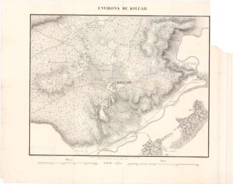
Environs De Koleah


Section: Maps, plans and nautical charts
Uniform title: KOLEA (Argelia). Planos de población (1855). 1:20000
Title: Environs De Koleah / Gravé par Gratia ; Dessiné au Dépot général de la Guerre, sous la Direction de Mr. le Lient. Genéral Pelet
Material or type of resouce Area: Escala 1:20.000
Publication: [Paris ?] : Lith. de L. Letrone 15 Quai Voltaire, [1855 ?]
Physical description: 1 mapa ; 31x39 cm en h. de 40,5x52 cm
Content type: Imagen cartográfica
Media type: computadora
Carrier type: recurso en línea
Notes: Escala grafica de 2500 metros [= 13 cm], 1500 Toisas [= 15,5 cm]
Relieve representado por normales
Materia / lugar / evento: Planos de población
Topónimos antiguos
1855
Other authors: Gratia, N
Lithographie de L. Letronne
UDC: 912:801.311
912:314(65 Kolea)'1855'(084.3)
65 Kolea
Type of publication:
 Maps
Maps
Rights:
Préstamo:
 Disponible
