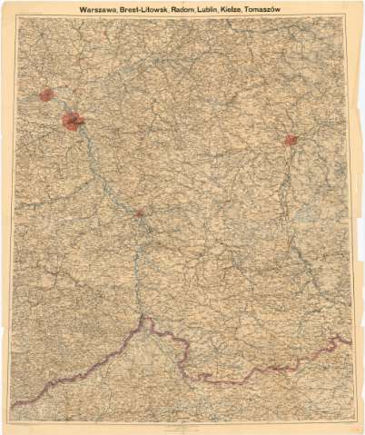
Warszawa, Brest - Litowsk, Radom, Lublin, Kielre, Tomaszow


 Disponible Holdings
 Section: Maps, plans and nautical charts
Uniform title: Polonia. Mapas generales (1899). 1:300.000
Title: Warszawa, Brest - Litowsk, Radom, Lublin, Kielre, Tomaszow
Material or type of resouce Area: Escala 1:300.000 (E38°0'-E42°0'/N53°0'-50°0')
Publication: Deutschland : Kartographischen Abteilung Koniglichen Preussischen Laudes - Augnahme, 1899
Physical description: 1 mapa : col. ; 113x91 cm en h. de 120x110 cm, pleg en 59x100 cm
Content type: Imagen cartográfica
Media type: computadora
Carrier type: recurso en línea
Notes: Escala grafica de 15 km [= 8,5 cm]
Relieve representado por normales y puntos acotados
Materia / lugar / evento: Mapas generales
1899
Tomaszów
Kielre
Lublin
Radom
Varsovia
Brest-Litowisk
UDC: 912(438)'1899'
(438 Tomasrows))
(438 Lublin)
(438 Radon)
(438 Wacsrawa)
(438(Brestlitowsk)
Type of publication:
 Maps
Maps
Rights:
Préstamo:
Disponible
