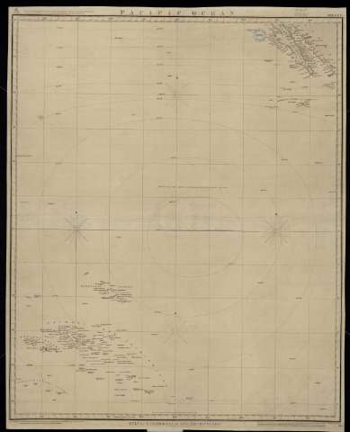
Pacific Ocean. Sheet 7. Gulf of California to Low...


 Maps, plans and nautical charts
Pacific Ocean. Sheet 7. Gulf of California to Low Archipielago (1856)
Maps, plans and nautical charts
Pacific Ocean. Sheet 7. Gulf of California to Low Archipielago (1856)
 Disponible Holdings
 Section: Maps, plans and nautical charts
Title: Pacific Ocean. Sheet 7. Gulf of California to Low Archipielago / Engraved by J. & C. Walker
Material or type of resouce Area: Escala [ca. 1:8.547.008]
Publication: London : Published at the Admiralty, 1856
Physical description: 1 carta náutica : papel entelado ; 79 x 64 cm
Content type: Imagen cartográfica
Media type: computadora
Carrier type: recurso en línea
Notes: Corrections Oct. 1863
Meridiano de Greenwich
Sello: Hydrographic Office
Nº H. O.: 2465
Genre / form: Cartas náuticas
Other authors: España. Dirección de Hidrografía, productor
UDC: (265)
Type of publication:
Maps
Real Instituto y Observatorio de la Armada
Collection: PROA — Location: PL — Call number: M/0041 — Nº de registro: 41 — Código de barras: 9593892 — Notes: Bueno
Préstamo:
Disponible

© Ministerio de Defensa de España
P. de la Castellana, 109 28071 Madrid.
Tlf: (34) 91 395 50 00
Email: patrimonio.cultural@oc.mde.es