[Hesse stand]


Section: Maps, plans and nautical charts
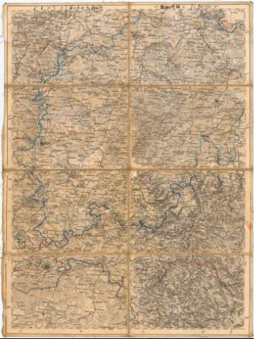
Uniform title: HESSE (Alemania). Central. Mapas generales (187). 1:200000
Title: [Hesse stand] / [Oficina Topográfica militar]
Material or type of resouce Area: Escala 1:200000 ; [proyec. cónica]
Publication: [Alemania ? : [Editor no identificado], 187- ?]
Physical description: 1 mapa : col., montado sobre tela ; 48,4x36,3 cm, pleg. en 18,2x12,7 cm
Content type: Imagen cartográfica
Media type: computadora
Carrier type: recurso en línea
Notes: Título propio redactado a partir de contenido del documento
Mención de responsabilidad tomada del Catálogo del SG : 'Alemania. Siglos XVII a XIX' 1976, p. 103
Coordenadas referidas al parecer, al meridiano de Hierro (E27#23'--E27#40'/N50#53'--N49#12'). Red geográfica de 15' en 15'
Coloreados a mano las divisiones administrativas
Relieve representado por normales
Procede de la 'Colección Coello', N 57
Entelado en 8 cuarterones
UDC: 912(430-328 Hesse)'1870/1879'
(430 Frankfurt am Main
Type of publication:
 Maps
Maps
Rights:
Préstamo:
 Disponible
